0
items
$0
The Annapurna Conservation Area was established in 1992 AD. The project headed by National Trust for Nature Conservation (NTNC) began in 1986 AD. The boundary of this project to its north is the border to Tibet (China) and the Kali Gandaki river to its west. TO its east lies the Marsyandi Valley and the Pokhara valley in the south. The NTNC, formally King Mahendra Trust for Nature Conservation, began the pilot project from one single VDC, Ghandruk, in 1986 AD. The project area during that time was just 200 sq. km. In the year 1990 AD, the project area expanded to 16 VDC. In 1992 AD, 39 VDCs more VDCs were incorporated. The size of the project remains the same to date, with 55 VDCs in total.
The region features two climatic zones within a span of 120 km. The altitude within the conservation area ranges from 1000 to 8000 (3,300 ft to 26,200 ft). The lower parts of Annapurna receive higher rainfall than the higher as regions fall under the shadow of trans-Himalaya.
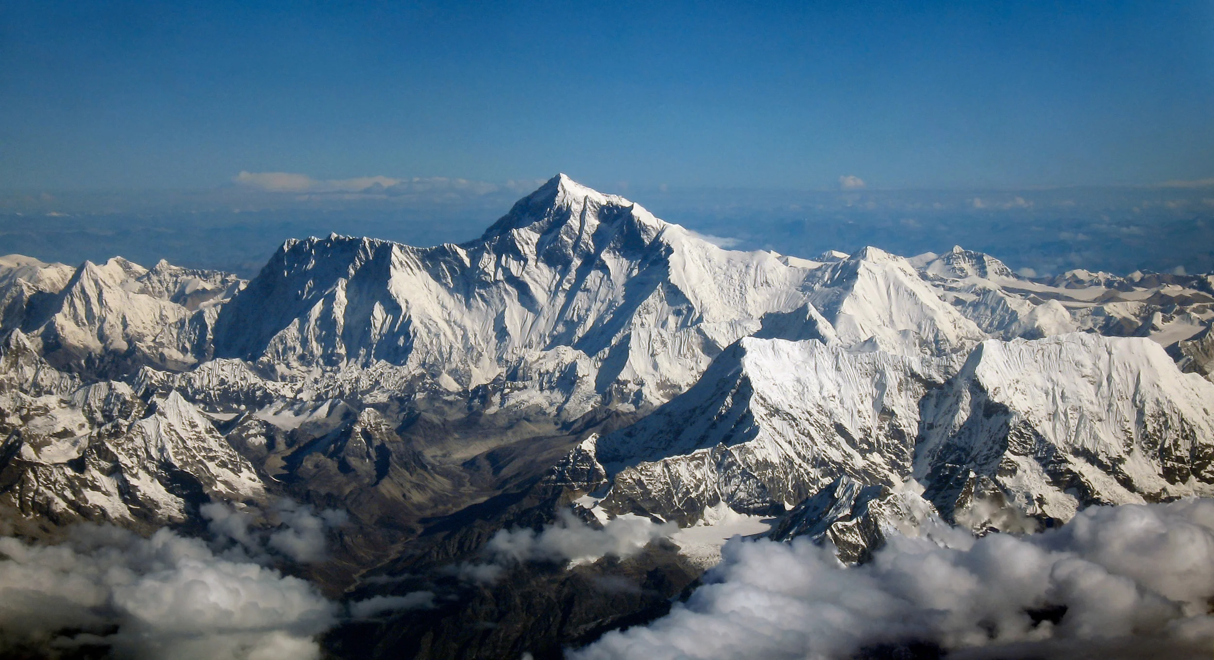
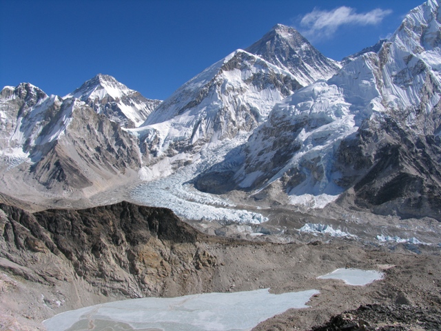
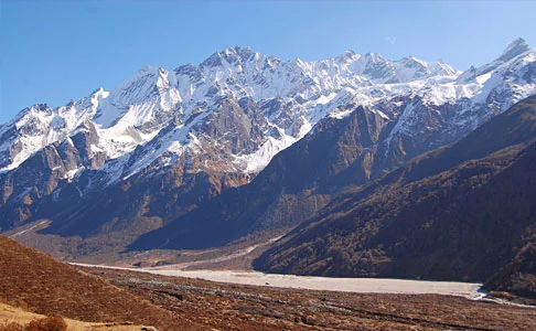
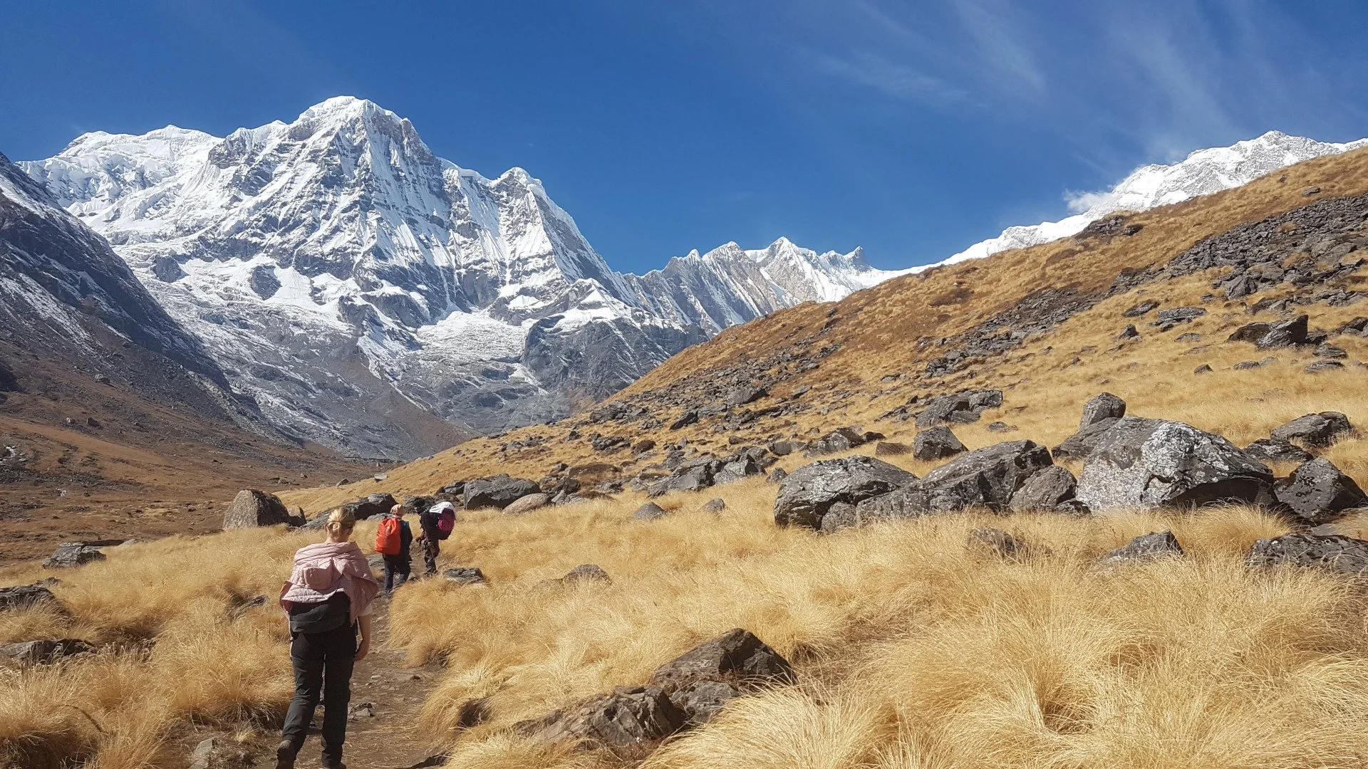
Annapurna Conservation Area is a culturally and naturally diverse scape. It is home to the deepest river gorge in the world- Kali Gandaki Gorge, which is 3 miles long and 1.5 miles wide. The valley is home to fossils from the Tethys Sea dating back 60 million years ago. Tilicho lake, north of Annapurna massif, is the highest altitude freshwater lake in the world. The world’s largest Rhododendron forest is located in Ghorepani. In terms of cultural diversity, the region features residents of Hindu Buddhist and pre-Buddhist religions. The dominant groups in the south are Gurung and Magar, whereas Loba, Manage and Thakali ethnicities dominate the north. These ethnicities have their dialect, cultural heritage and traditions.
Amongst the various conservation projects in Nepal, ACA was the first protected area to refrain from using the National Army for assistance. The locals reside within the protected area and also own private land. The project is directly operated by the NTNC with no funding from the government. The entry fees are used for the management of the area. NTNC uses a circular approach where the funds collected is invested into the region and its communities. NTNC also relies on various national and international donors.
The project utilises a community-based conservation and development approach. In this model, the community members are made aware of their habitat, duty towards conservation and protection of the environment. This instils ownership amongst all the community members, and each is a vanguard of the area.
ACA features 7 unit conservation offices.
Jomson
Manang
Lo-Manthang
Bhujung
Sikles
Ghandruk and
Lwang
This decentralised approach was devised to smoothen the operation and management of the area. In terms of the focus of offices, Jomsom, Manang, and Ghandruk work on integrating tourism management and other development activities. In Bhujung, Sikles and Lwang, the mission is poverty alleviation, integrated agriculture development and agro-forestry. In Lo-Manthang, the focus is on promoting heritage conservation and controlled tourism.
ACA over the years has gained national and international recognition. The biodiversity of the region under the leadership of the community members is flourishing. Multiple trekking routes were created in this region. Amongst them, some are voted as the best natural trails in Nepal.
Here are the top 10 trails in the region
Annapurna Circuit Trek
Poon Hill Trek
Mardi Himal Trek
Annapurna Base Camp Trek
Annapurna Trek (Manag to Tilicho)
Manaslu- Tsum Valley Trek
Kapuche Lake Trek
Sikles Eco Trek
Nar Phu Trek
Upper Mustang Trek
The best time of the year to embark on these trails is during spring, autumn and pre-winter. Trekkers can receive their permit (TIMS) from the NTB (Nepal Tourism Board) office located in Kathmandu and Pokhara.